R. Fagundes Varela, 495 stop - Monday schedule
| Line | Direction | Time |
|---|---|---|
| 374 HUGO LANGE | Terminal Bairro Alto → Praça Santos Andrade | 6:00 AM |
| 374 HUGO LANGE | Terminal Bairro Alto → Praça Santos Andrade | 6:19 AM |
| 374 HUGO LANGE | Terminal Bairro Alto → Praça Santos Andrade | 6:38 AM |
| 374 HUGO LANGE | Terminal Bairro Alto → Praça Santos Andrade | 6:57 AM |
| 374 HUGO LANGE | Terminal Bairro Alto → Praça Santos Andrade | 7:24 AM |
| 374 HUGO LANGE | Terminal Bairro Alto → Praça Santos Andrade | 7:49 AM |
| 374 HUGO LANGE | Terminal Bairro Alto → Praça Santos Andrade | 8:14 AM |
| 374 HUGO LANGE | Terminal Bairro Alto → Praça Santos Andrade | 8:40 AM |
| 374 HUGO LANGE | Terminal Bairro Alto → Praça Santos Andrade | 9:06 AM |
| 374 HUGO LANGE | Terminal Bairro Alto → Praça Santos Andrade | 9:32 AM |
| 374 HUGO LANGE | Terminal Bairro Alto → Praça Santos Andrade | 9:58 AM |
| 374 HUGO LANGE | Terminal Bairro Alto → Praça Santos Andrade | 10:25 AM |
| 374 HUGO LANGE | Terminal Bairro Alto → Praça Santos Andrade | 10:56 AM |
| 374 HUGO LANGE | Terminal Bairro Alto → Praça Santos Andrade | 11:28 AM |
| 374 HUGO LANGE | Terminal Bairro Alto → Praça Santos Andrade | 12:00 PM |
| 374 HUGO LANGE | Terminal Bairro Alto → Praça Santos Andrade | 12:32 PM |
| 374 HUGO LANGE | Terminal Bairro Alto → Praça Santos Andrade | 1:04 PM |
| 374 HUGO LANGE | Terminal Bairro Alto → Praça Santos Andrade | 1:36 PM |
| 374 HUGO LANGE | Terminal Bairro Alto → Praça Santos Andrade | 2:08 PM |
| 374 HUGO LANGE | Terminal Bairro Alto → Praça Santos Andrade | 2:40 PM |
| 374 HUGO LANGE | Terminal Bairro Alto → Praça Santos Andrade | 3:14 PM |
| 374 HUGO LANGE | Terminal Bairro Alto → Praça Santos Andrade | 3:46 PM |
| 374 HUGO LANGE | Terminal Bairro Alto → Praça Santos Andrade | 4:24 PM |
| 374 HUGO LANGE | Terminal Bairro Alto → Praça Santos Andrade | 5:04 PM |
| 374 HUGO LANGE | Terminal Bairro Alto → Praça Santos Andrade | 5:27 PM |
Directions to R. Fagundes Varela, 495 stop (Jardim Social) with public transit
The following transit lines have routes that pass near R. Fagundes Varela, 495
 Bus: 021 INTERBAIRROS II (ANTI-HORÁRIO), 365 JARDIM SOCIAL / BATEL, 374 HUGO LANGE, B03 GUARAITUBA / ALTO DA XV (VIA MARACANÃ), 211 COLINA VERDE.
How to get to R. Fagundes Varela, 495 stop by bus?
Click on the bus route to see step by step directions with maps, line arrival times and updated time schedules.
Bus stops near R. Fagundes Varela, 495 stop in Jardim Social
- R. México, 1367, 3 min walk,
- R. Fagundes Varela, 367, 3 min walk,
- R. Fagundes Varela 353, 3 min walk,
- Av. Presidente Washington Luiz, 359, 6 min walk,
- Praça Vila Lobos, 766, 6 min walk,
- .A Coronel Romão Rodrigues de Oliveira Branco, 234, 7 min walk,
Bus lines to R. Fagundes Varela, 495 stop in Jardim Social
- 211 COLINA VERDE, Colina Verde → Terminal Cabral,
- 374 HUGO LANGE, Praça Santos Andrade → Terminal Bairro Alto,
- B03 GUARAITUBA / ALTO DA XV (VIA MARACANÃ), Terminal Guaraituba ↺ Jardim Social / Alto da Rua XV (Circular),
- 365 JARDIM SOCIAL / BATEL, Batel → Estação Fagundes Varela,
- 371 HIGIENÓPOLIS, Praça Santos Andrade → Terminal Bairro Alto,
- 361 AUGUSTO STRESSER, Estação Solar → Praça Santos Andrade,
What are the closest stations to R. Fagundes Varela, 495?
The closest stations to R. Fagundes Varela, 495 are:
- R. México, 1367 is 173 meters away, 3 min walk.
- R. Fagundes Varela, 367 is 184 meters away, 3 min walk.
- R. Fagundes Varela 353 is 200 meters away, 3 min walk.
- Av. Presidente Washington Luiz, 359 is 397 meters away, 6 min walk.
- Praça Vila Lobos, 766 is 445 meters away, 6 min walk.
- .A Coronel Romão Rodrigues de Oliveira Branco, 234 is 517 meters away, 7 min walk.
Which bus lines stop near R. Fagundes Varela, 495?
These bus lines stop near R. Fagundes Varela, 495: 021 INTERBAIRROS II (ANTI-HORÁRIO), 365 JARDIM SOCIAL / BATEL, 374 HUGO LANGE, B03 GUARAITUBA / ALTO DA XV (VIA MARACANÃ).
What’s the nearest bus station to R. Fagundes Varela, 495 in Jardim Social?
The nearest bus stations to R. Fagundes Varela, 495 in Jardim Social are R. México, 1367, R. Fagundes Varela, 367 and R. Fagundes Varela 353. The closest one is a 3 min walk away.
What time is the first bus to R. Fagundes Varela, 495 in Jardim Social?
The 211 COLINA VERDE is the first bus that goes to R. Fagundes Varela, 495 in Jardim Social. It stops nearby at 5:45 AM.
What time is the last bus to R. Fagundes Varela, 495 in Jardim Social?
The 365 JARDIM SOCIAL / BATEL is the last bus that goes to R. Fagundes Varela, 495 in Jardim Social. It stops nearby at 12:18 AM.
R. Fagundes Varela, 495 station
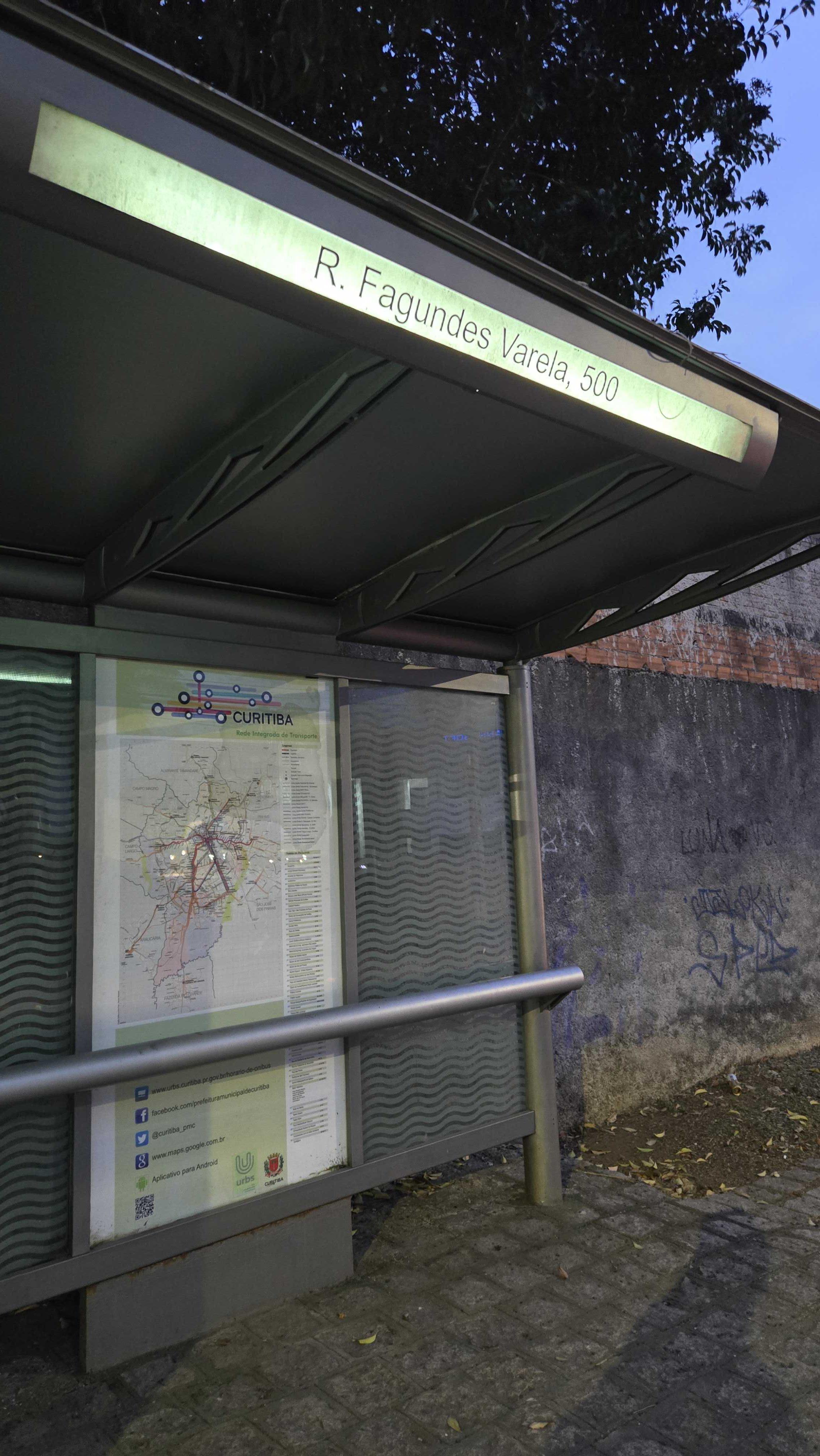 Taken by Anonymous
See R. Fagundes Varela, 495 stop, Jardim Social, on the map
Public transit to R. Fagundes Varela, 495 stop (ID: 130274) in Jardim Social
Looking for directions to R. Fagundes Varela, 495 in Jardim Social, Brazil?
Download the Moovit App to find the current schedule and step-by-step directions for Bus routes that pass through R. Fagundes Varela, 495.
Looking for the nearest stops closest to R. Fagundes Varela, 495 ? Check out this list of closest stops to your destination: R. México; R. Fagundes Varela; R. Fagundes Varela 353; Av. Presidente Washington Luiz; Praça Vila Lobos; .A Coronel Romão Rodrigues de Oliveira Branco.
Bus: 021 INTERBAIRROS II (ANTI-HORÁRIO), 365 JARDIM SOCIAL / BATEL, 374 HUGO LANGE, B03 GUARAITUBA / ALTO DA XV (VIA MARACANÃ), 211 COLINA VERDE, 371 HIGIENÓPOLIS, 361 AUGUSTO STRESSER.
We make riding on public transit to R. Fagundes Varela, 495 easy, which is why over 1.5 million users, including users in Jardim Social trust Moovit as the best app for public transit.
Use the app to navigate to popular places including to the airport, hospital, stadium, grocery store, mall, coffee shop, school, college, and university.
R. Fagundes Varela, 495 stop’s code is 130274
The first line to this stop is 374 HUGO LANGE, at 6:00 AM, and the last line is 374 HUGO LANGE at 11:39 PM.
579 Rua Fagundes Varela, Curitiba, Brazil
This stop serves URBS (Cartões bancários e cartão-transporte URBS)’s lines
- R. México, 1367,
- R. Fagundes Varela, 367,
- R. Fagundes Varela 353,
- Av. Presidente Washington Luiz, 359,
- Praça Vila Lobos, 766,
- .A Coronel Romão Rodrigues de Oliveira Branco, 234
Bus stops near R. Fagundes Varela, 495 stop
- R. Ângelo Gai, 1582,
- R. Rachel Cândido de Siqueira, 167,
- Av. Centenário Do Paraná, 777,
- Rua Padre Ladislau Rup,
- Rodovia Pr 281 - Entrada Campo Das Flores,
- Rua Salgado Filho 2227,
- R. Rutildo Pulido, 231,
- R. Marechal Hermes, 890 (Museu Oscar Niemeyer),
- Rod. Br-277 Norte, Km 72 - Instituto Ambiental Do Paraná,
- PUC,
- Rodovia Pr 510, 464 - Frigorifico Bizinelli,
- Rua Maria Sobania, 83,
- Rua Africa Do Sul, 521,
- Rodovia Pr 090 (Rodovia Engº Ângelo Lopes),
- Rua Doutor Waldemar De Moura Carvalho, 3183,
- Rodovia Do Xisto (Br 476) - Contenda,
- Rodovia Régis Bittencourt (Br 116) - Viaduto Pompéia,
- Rua Wiegando Olsen, 2720 - Portal Vitória Régia,
- Rua Boa Vista 198,
- Estrada da Ribeira, 1127
Popular public transit stations in Jardim Social
Get around Jardim Social by public transit!
Traveling around Jardim Social has never been so easy. See step by step directions as you travel to any attraction, street or major public transit station. View bus and train schedules, arrival times, service alerts and detailed routes on a map, so you know exactly how to get to anywhere in Jardim Social.
When traveling to any destination around Jardim Social use Moovit's Live Directions with Get Off Notifications to know exactly where and how far to walk, how long to wait for your line, and how many stops are left. Moovit will alert you when it's time to get off — no need to constantly re-check whether yours is the next stop.
Wondering how to use public transit in Jardim Social or how to pay for public transit in Jardim Social? Moovit public transit app can help you navigate your way with public transit easily, and at minimum cost. It includes public transit fees, ticket prices, and costs. Looking for a map of Jardim Social public transit lines? Moovit public transit app shows all public transit maps in Jardim Social with all Bus and Cable Car routes and stops on an interactive map.
Curitiba Region has 2 transit type(s), including: Bus and Cable Car, operated by several transit agencies, including Sistema Integrado de Mobilidade (URBS), Sistema Integrado de Mobilidade (AMEP), URBS (Cartões bancários e Dinheiro), URBS (Cartões bancários e cartão-transporte URBS), AMEP (Apenas cartão MetroCard), AMEP (Cartões bancários / Cartão MetroCard / Dinheiro), Viação Colombo (Dinheiro), TRIAR (Cartão TRIAR / Dinheiro), Empresa Curitiba Cerro Azul (Dinheiro), Expresso Nossa Senhora da Penha (Dinheiro), Empresa Campo Alto Tijucas (Dinheiro), Auto Viação São José (Cartão VEM / Dinheiro), BRT S/A (Cartão VEM / Dinheiro), TransPiedade (Cartão Cidadão / Dinheiro) and Oceânica Sul (Cartão Transporte / Dinheiro)